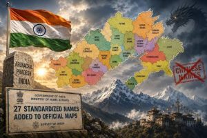

In a direct move to counter repeated attempts by neighboring China to alter regional cartography, India has officially mapped and standardizes the titles of 27 key geographical locations across Arunachal Pradesh. Conducted in close consultation with the Arunachal Pradesh state government, this strategic exercise establishes precise identification and standardized naming conventions for vital border sites, natural landmarks, and residential settlements throughout the northeastern region. Indian authorities highlighted that this comprehensive documentation initiative aims to bolster public awareness, clarify territorial records, and ensure accurate geospatial data across national mapping databases. The action serves as an assertive administrative counter-response following several rounds of unilateral naming announcements made by Beijing over disputed Himalayan areas along the Line of Actual Control (LAC). By formally enshrining these local designations, New Delhi reinforces its sovereign jurisdiction while ensuring that international and domestic documentation remains consistent with ground realities. The state leadership in Arunachal Pradesh welcomed the initiative, noting that recognizing traditional and local names preserves cultural heritage while providing practical clarity for infrastructure development, local governance, and disaster management operations. Defense and foreign affairs analysts observe that this administrative move reflects India’s broader policy of proactive border management, combining strategic infrastructure expansion with firm territorial claims. Local communities have expressed strong support for the standardized designations, emphasizing that official recognition of indigenous names strengthens identity and historical ties to the land. Furthermore, the exercise ensures that civil authorities, emergency responders, and military personnel operate with uniform navigational data, mitigating confusion during routine operations or severe weather events along the frontier. Survey officials utilized modern satellite mapping technology alongside historical land records to execute the survey with high geographical accuracy, settling long-standing local nomenclature discrepancies. This initiative underscores a firm stance that administrative clarity and digital cartographic accuracy are essential components of national security and regional stability along India’s northern borders.
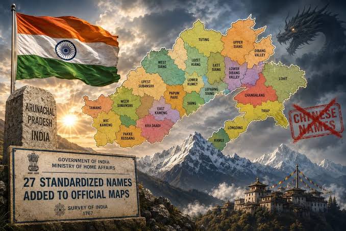
India Formally Standardizes Names for 27 Locations in Arunachal Pradesh

You May Also Like



More From Author

Supreme Court Clarifies Standards on Compulsory Retirement Policy